Student of Non-violent Communication, researcher, trainer.
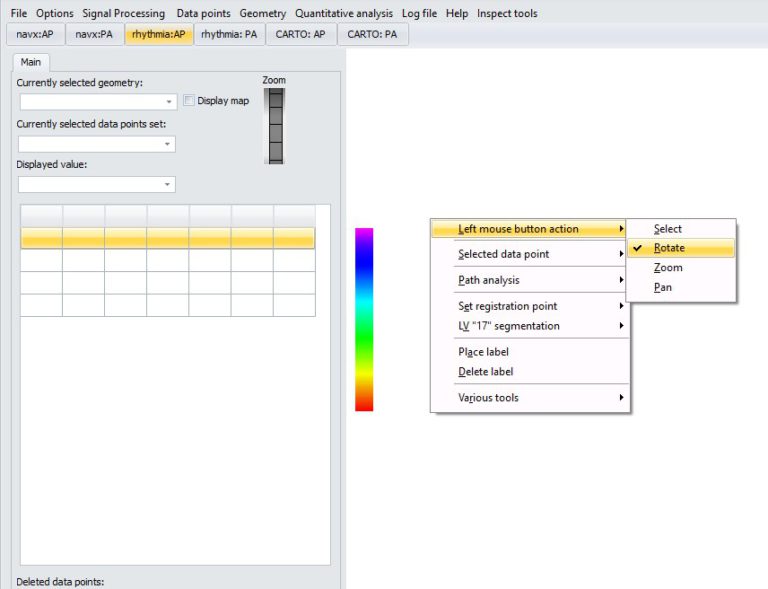
Interacting with 3D map
By default, dragging with left mouse pressed is a rotation of 3D map.
To select data point, use left mouse button click.
You can zoom in/out the map left-clicking on the zoom slider (left side of the screen) and dragging up/down.
You can change action of left mouse button by right clicking on 3D panel and selecting from context menu: “Left mouse button action” and then one of actions:
Select: selection mode. Left click on data point on 3D map will result in selection of this point as “currently selected data point”.
Rotate: dragging with left mouse button will rotate the geometry
Zoom: dragging with left mouse button will zoom the geometry
Pan: dragging with left mouse button will pan the geometry
Right click on data point will also result in it’s selection (+ appearance of context menu).
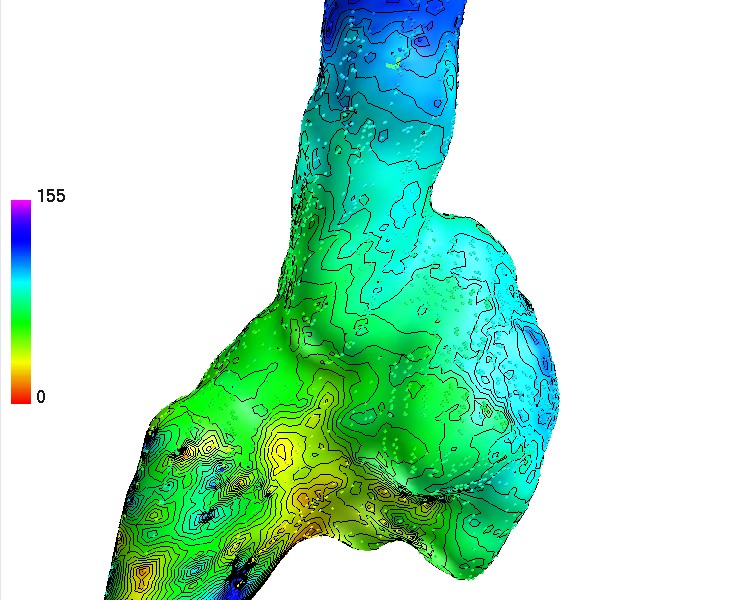
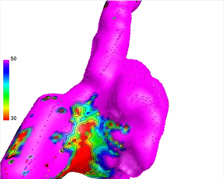
In order to turn on display of iso-value lines, go to menu: “Options->Display options”, and check “Display iso-values contours”.
Below are fields allowing you to select spacing between individual contour lines (“Contour interval” filed) and optical line thickness.
In order to limit colorscale, go to menu: “Options->Display options”, and check “Fixed scale range” checkbox and put min and max value in boxes below.
If required, color palette can be inverted checking “Invert palette” checkbox.